Road markings
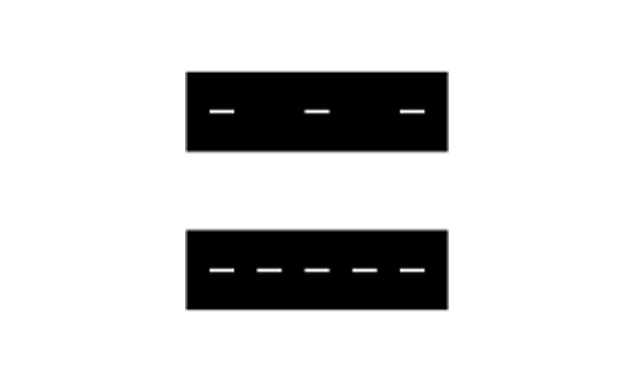
M1 Centre/lane line
The centre line separates lanes intended for traffic in opposite directions and is a dashed line. On country roads, the line length is typically 3 meters with a gap of 9 meters. The lane line, used to separate lanes in the same direction, has a 1:3 or 1:1 ratio between the line and the gap. The centre line may also mark the middle of a cycle path, with a 1:1 ratio between the line and the gap. The centre line is an important safety marking—always stay on the correct side to avoid accidents.
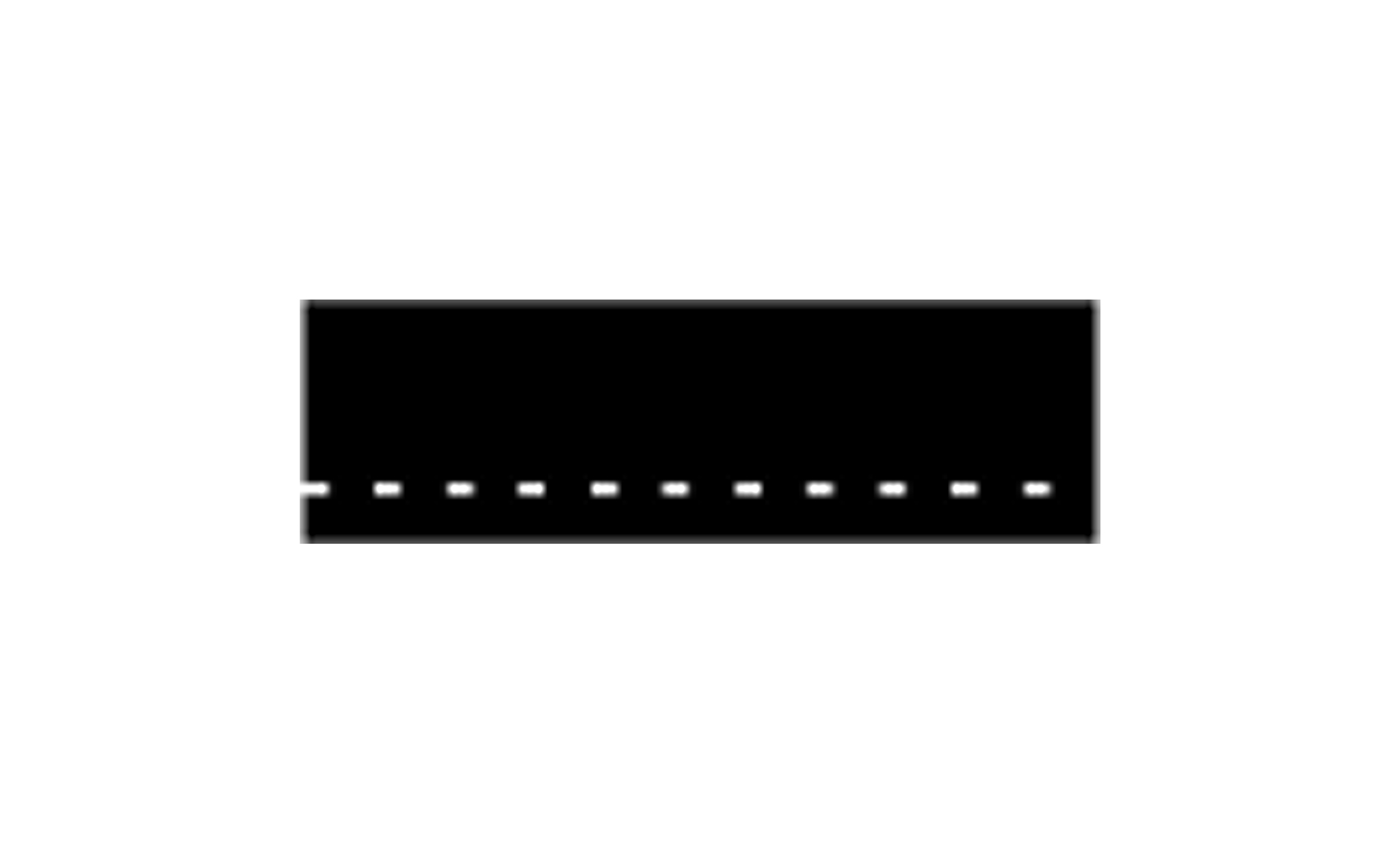
M2 Edge line
The edge line marks the outer boundary of the roadway. The line is dashed, with a 1:2 ratio between the line and the gap. It is permitted to cross a dashed edge line, for instance, to facilitate overtaking.
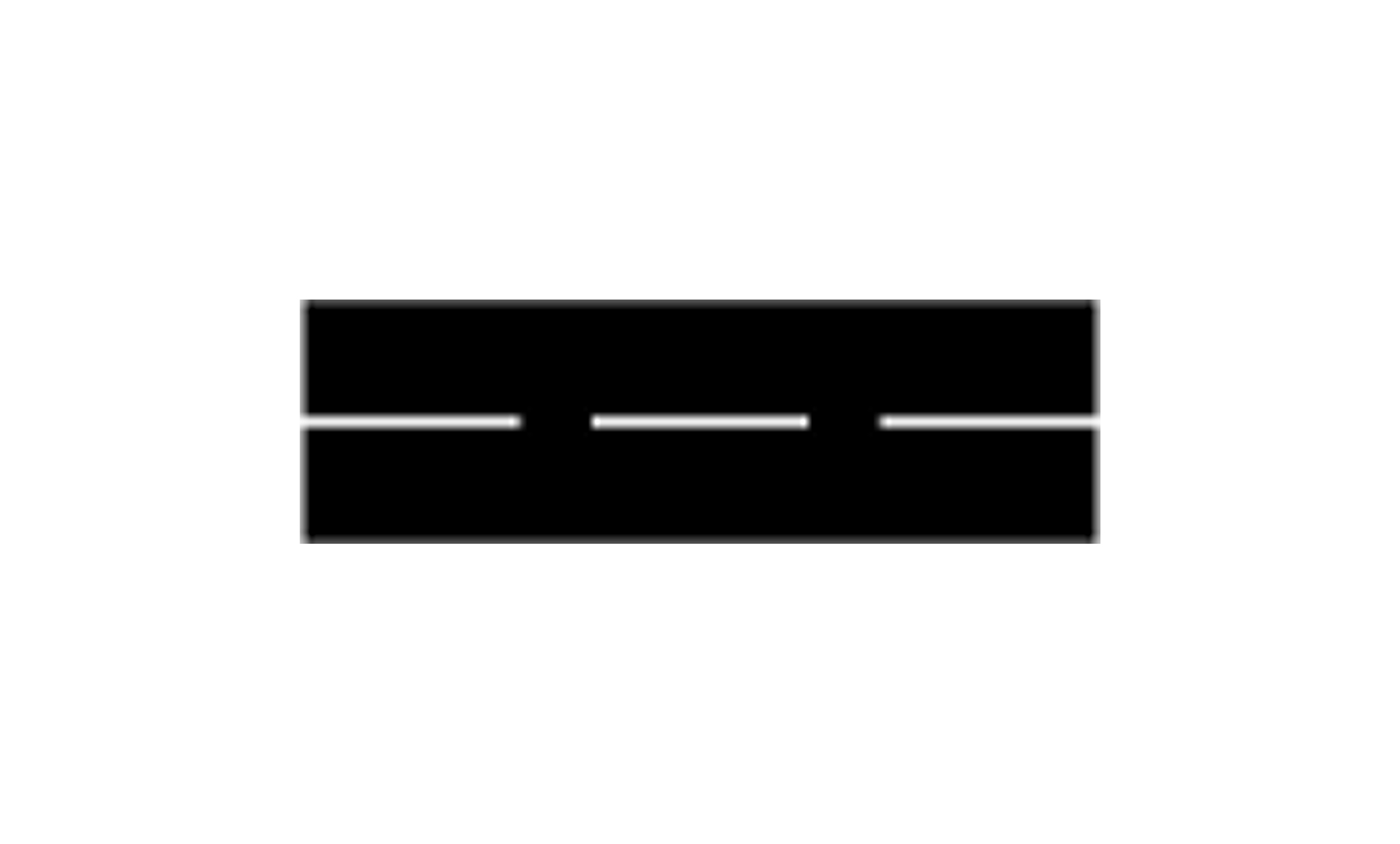
M3 Warning line
The warning line indicates that crossing the line is inadvisable due to traffic conditions. It may also signal that a solid line is approaching. The line is usually 9 meters long with 3-meter gaps. The warning line replaces the centre line on narrower roads, often under 7 meters wide, and may appear on wider roads in urban areas. The warning line alerts drivers to pay extra attention to traffic and road conditions.
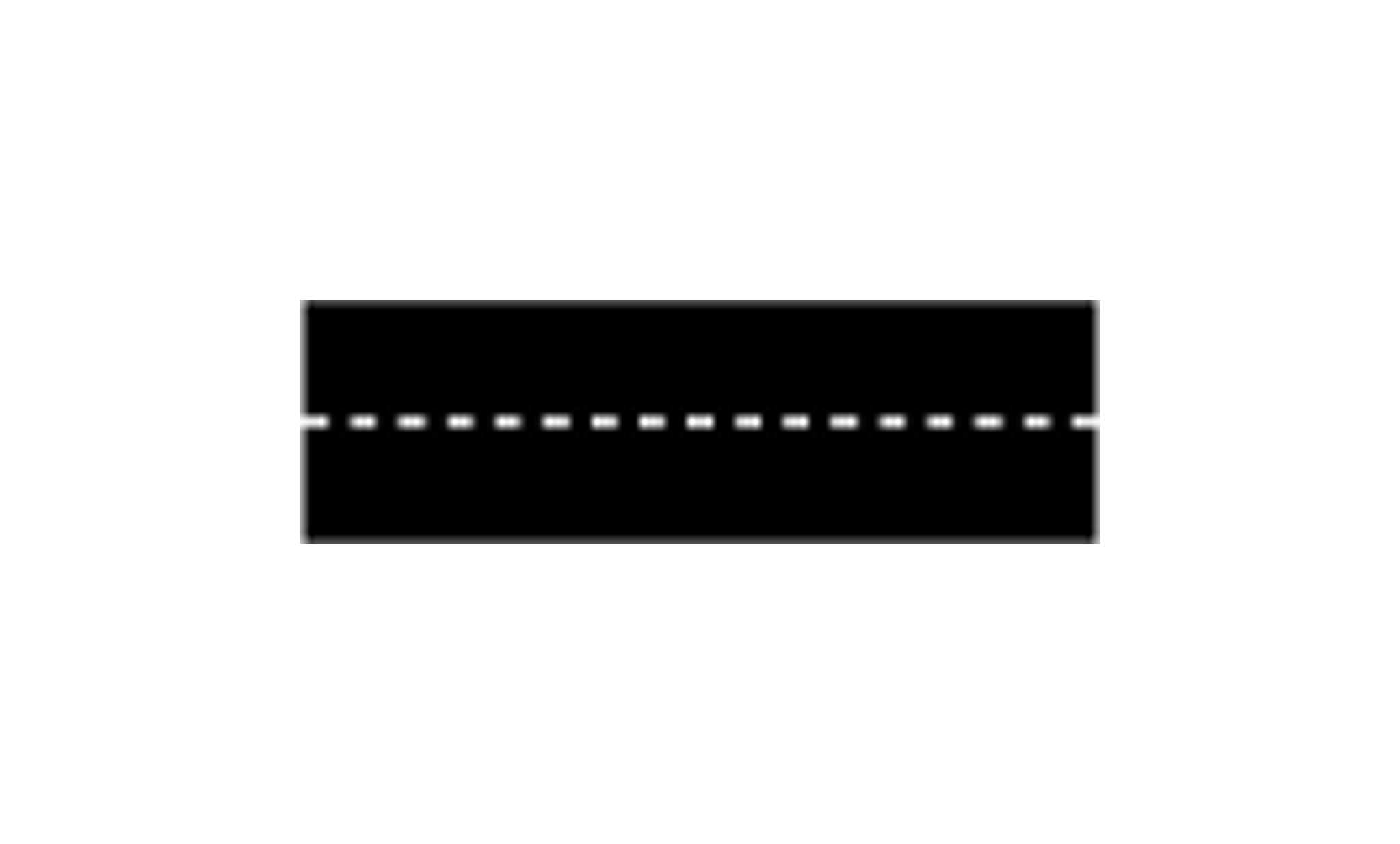
M4 Guiding line
The guiding line indicates the appropriate path through complex intersections or areas requiring clear guidance. The line has a 1:1 ratio between the line and the gap.
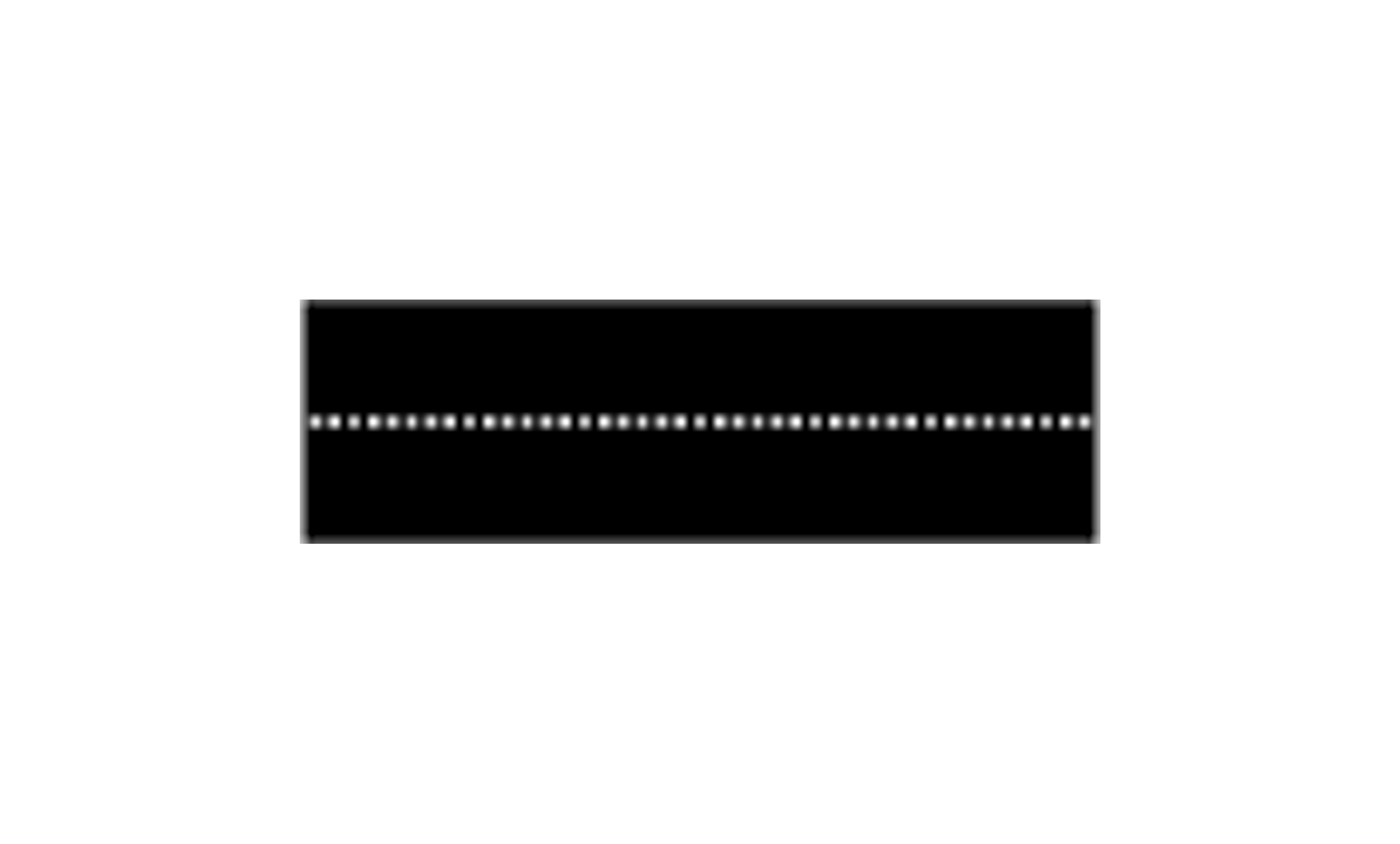
M5 Cycle lane line
The cycle lane line separates a cycle lane from other traffic lanes and has a 1:1 ratio between the line and the gap. Cyclists and Class II moped riders must follow these markings.
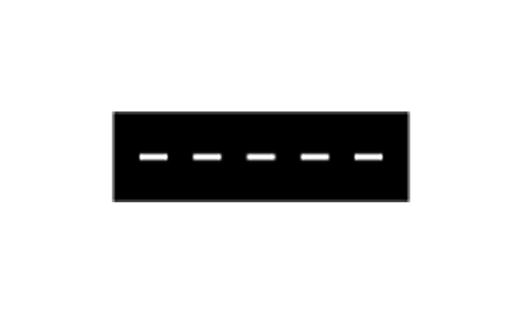
M6 Public transport lane line
This line marks the boundary between a lane for public transport vehicles (like buses) and other traffic lanes. It has a 1:1 ratio between the line and the gap.
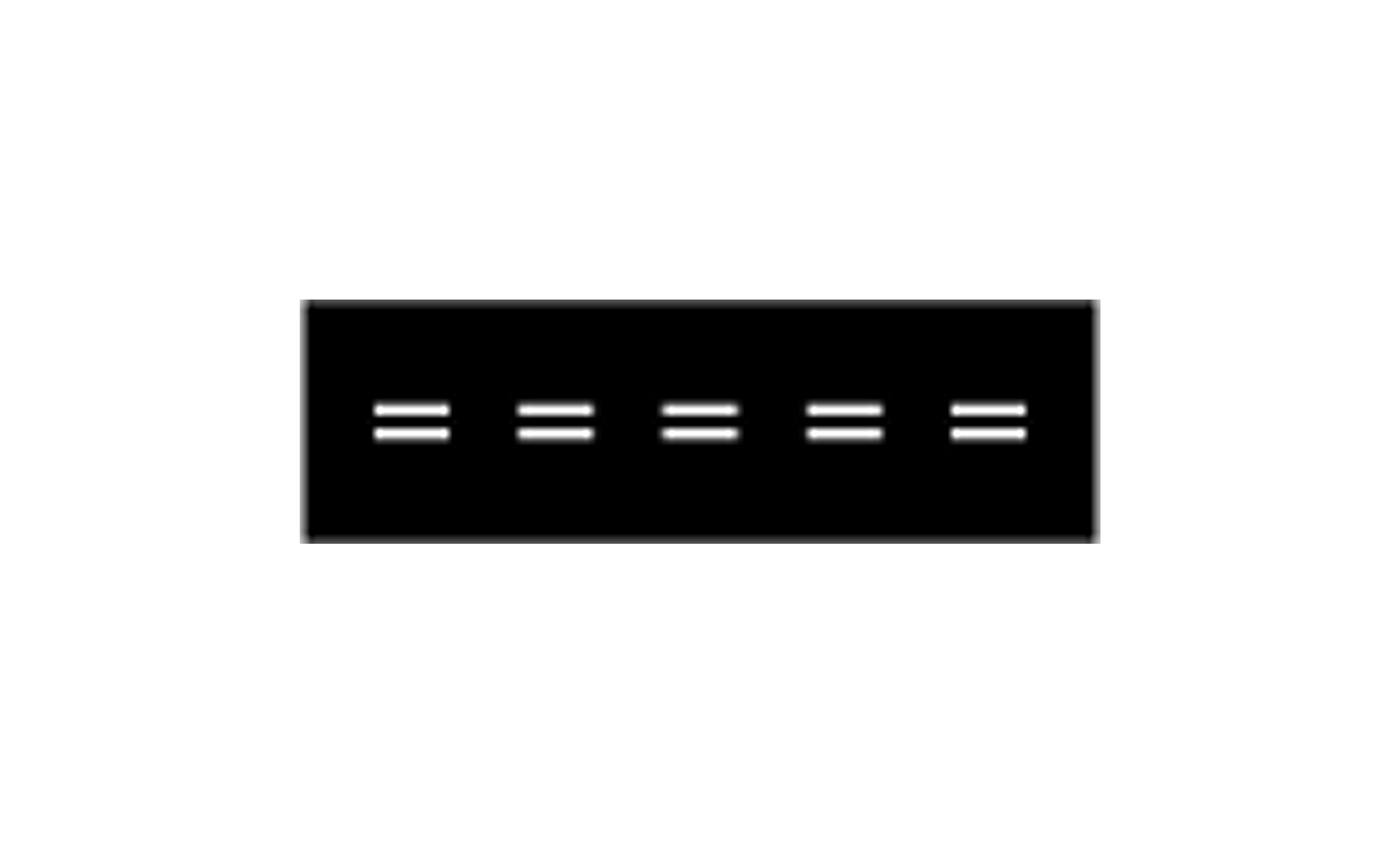
M7 Reversible lane
This marking is used for lanes where the traffic direction alternates, usually depending on time or traffic flow. The line has a 1:1 ratio between the line and the gap.
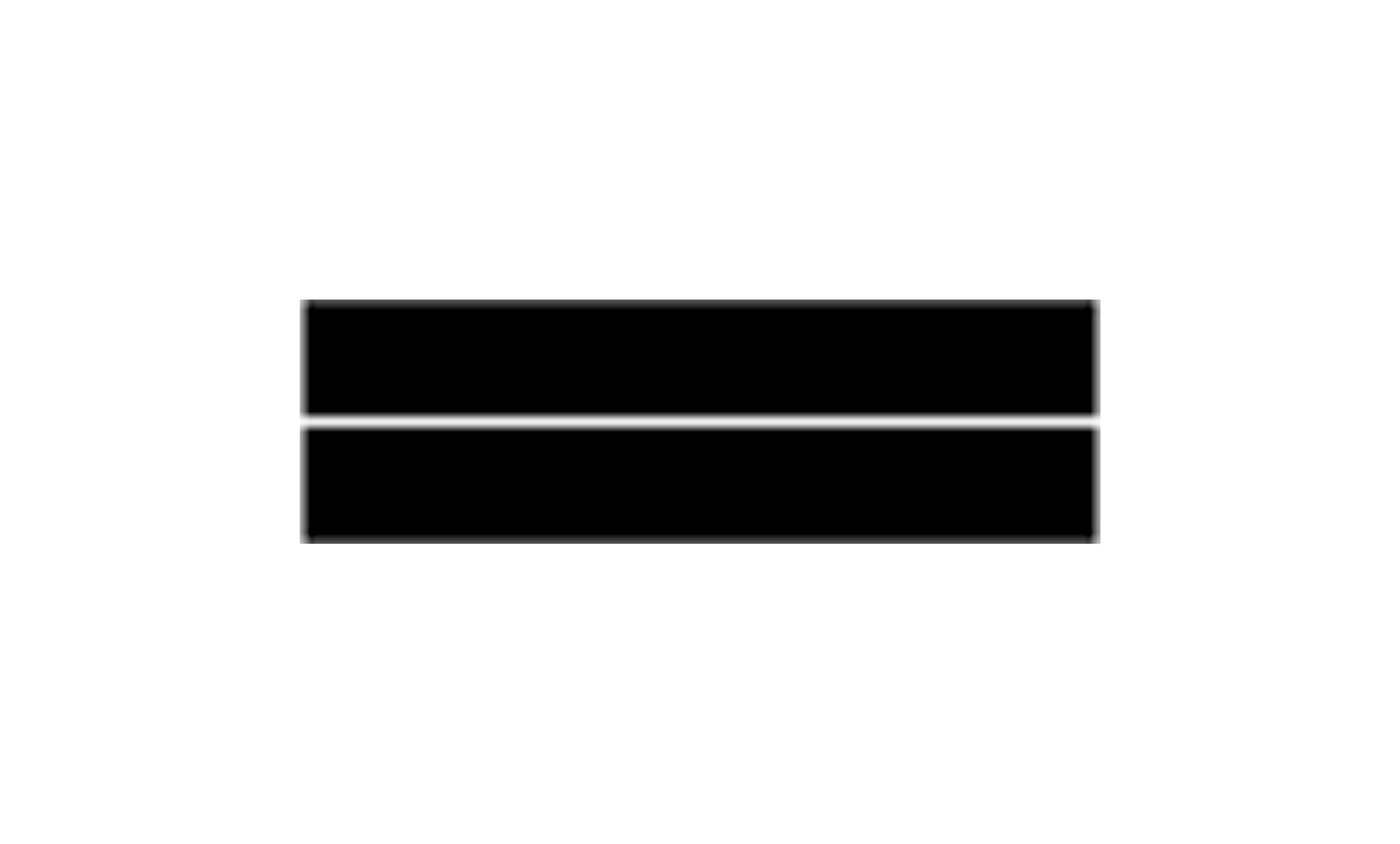
M8 Solid line
The solid line indicates a prohibition against crossing it, with certain exceptions, such as for entering or exiting a road. It can be single or double. Double solid lines are typically used on roads with two lanes in each direction or on single-lane roads where necessary. Crossing the line with any wheel is prohibited.

M9 Prohibited area
This marking indicates an area where vehicles are not allowed to drive or stop, usually to ensure safety. The area is marked with angled or slanted stripes, adapted to local conditions. In some cases, part or all of the marking may be white, making it more visible to road users. Never enter a prohibited area, even during traffic congestion, as it may block other road users and create hazardous situations.
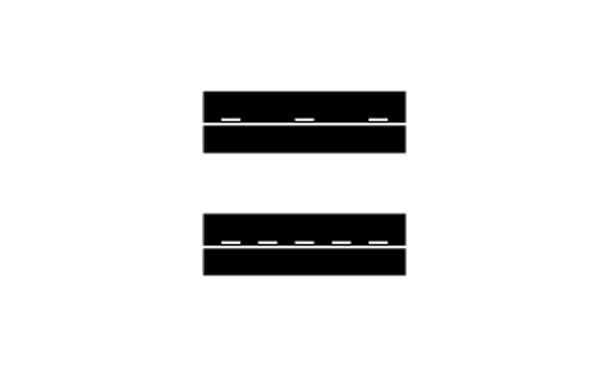
M10 Centre/lane line with solid line
This marking is used where lane changes are prohibited for vehicles on the side of the solid line. The combined line indicates limited visibility ahead and serves as a safety measure to prevent dangerous overtaking.
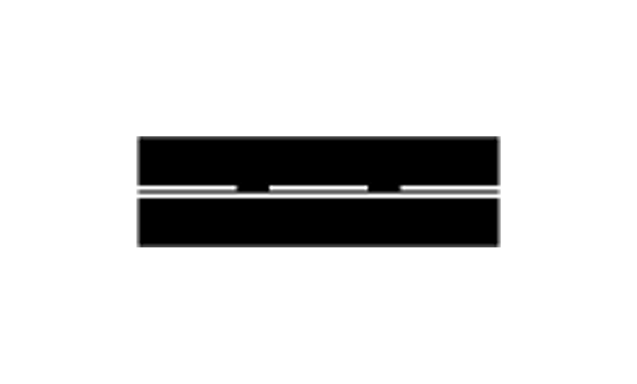
M11 Warning line with solid line
This marking warns of an upcoming solid line or potential hazard. Vehicles on the side of the solid line are not allowed to change lanes.
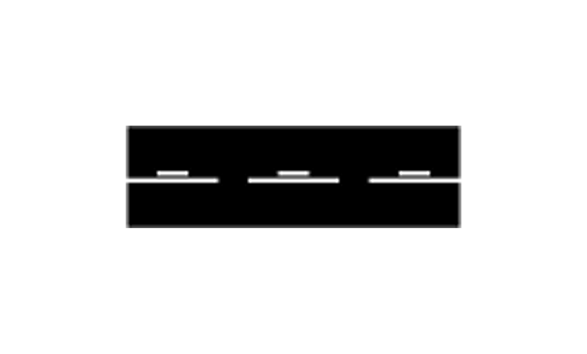
M12 Centre line with warning line
This marking is used where crossing the warning line is inadvisable due to traffic conditions. Crossing is allowed only when safe and with adequate visibility. The marking may also indicate an upcoming solid line on the side with the warning line.
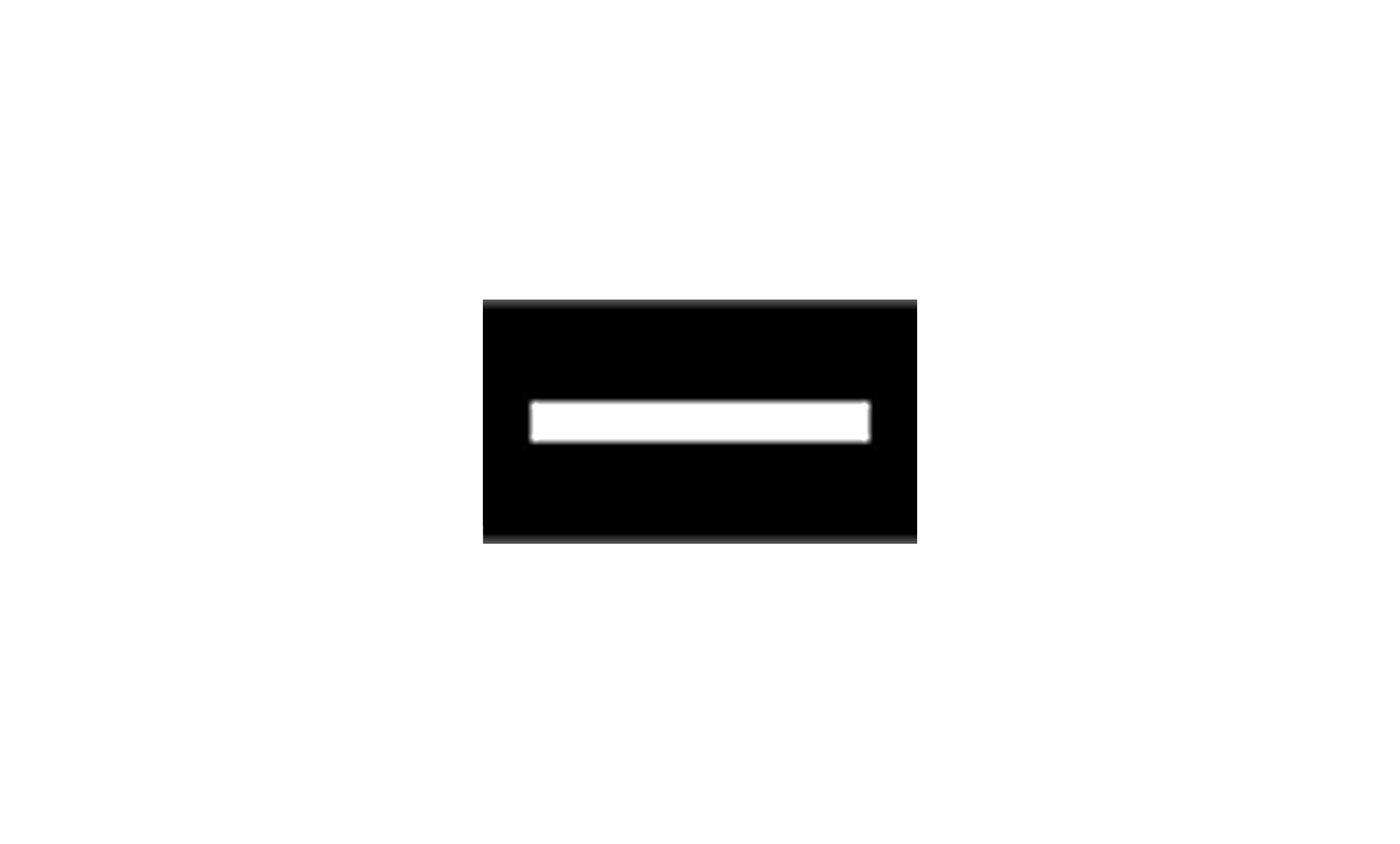
M13 Stop line
The stop line marks where a vehicle must stop at certain signs, traffic lights, or signal Y1. Always stop before the stop line at a stop sign, even if there are no other road users nearby.

M14 Give way line
This marking shows the line a driver may not cross when giving way. The give way line ensures giving way safely to other road users; stop or slow down well in advance.
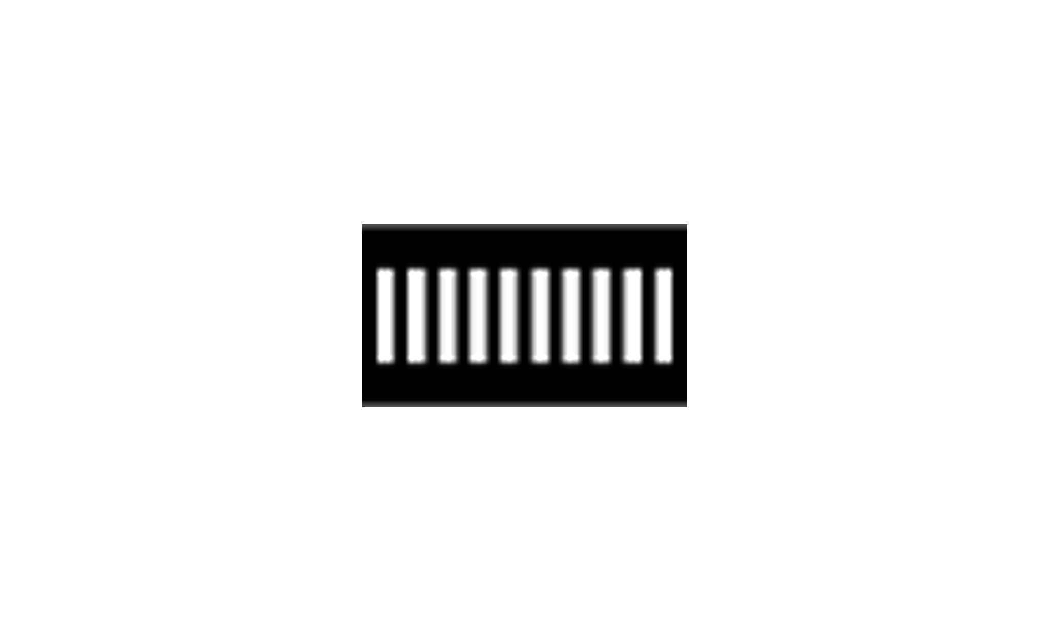
M15 Pedestrian crossing
This marking indicates the location of a pedestrian crossing. It is used together with sign B3, pedestrian crossing, and sometimes with traffic lights. Reduce your speed well in advance.

M16 Bicycle passage or bicycle crossing
This marking indicates a bicycle passage or crossing, where the sign Bicycle crossing (B8) is placed. At a bicycle crossing, it is combined with the Give way line (M14).
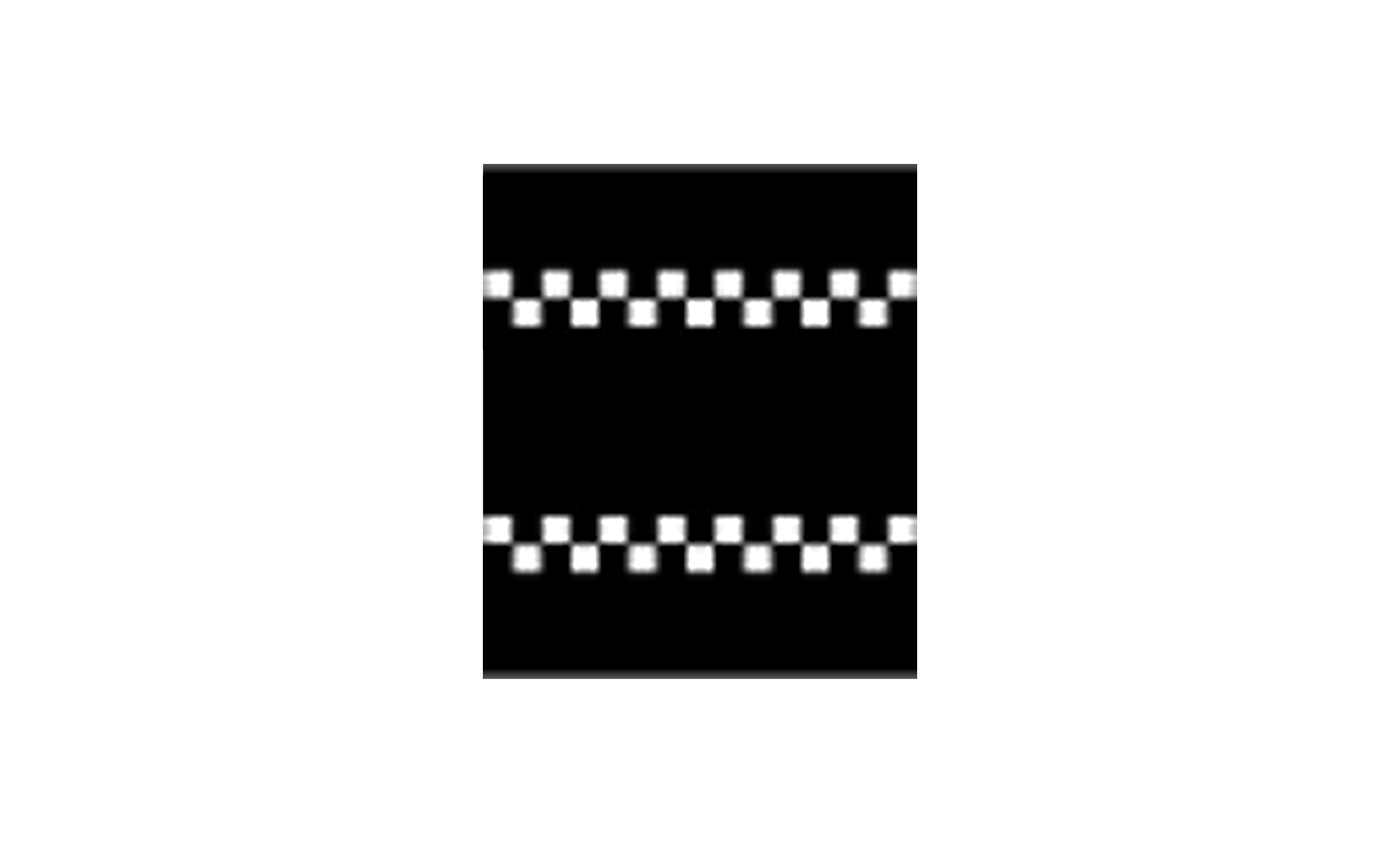
M17 Speed hump
This marking shows the presence of a speed hump, such as a bump or dip, on the road. Adjust your speed well in advance.
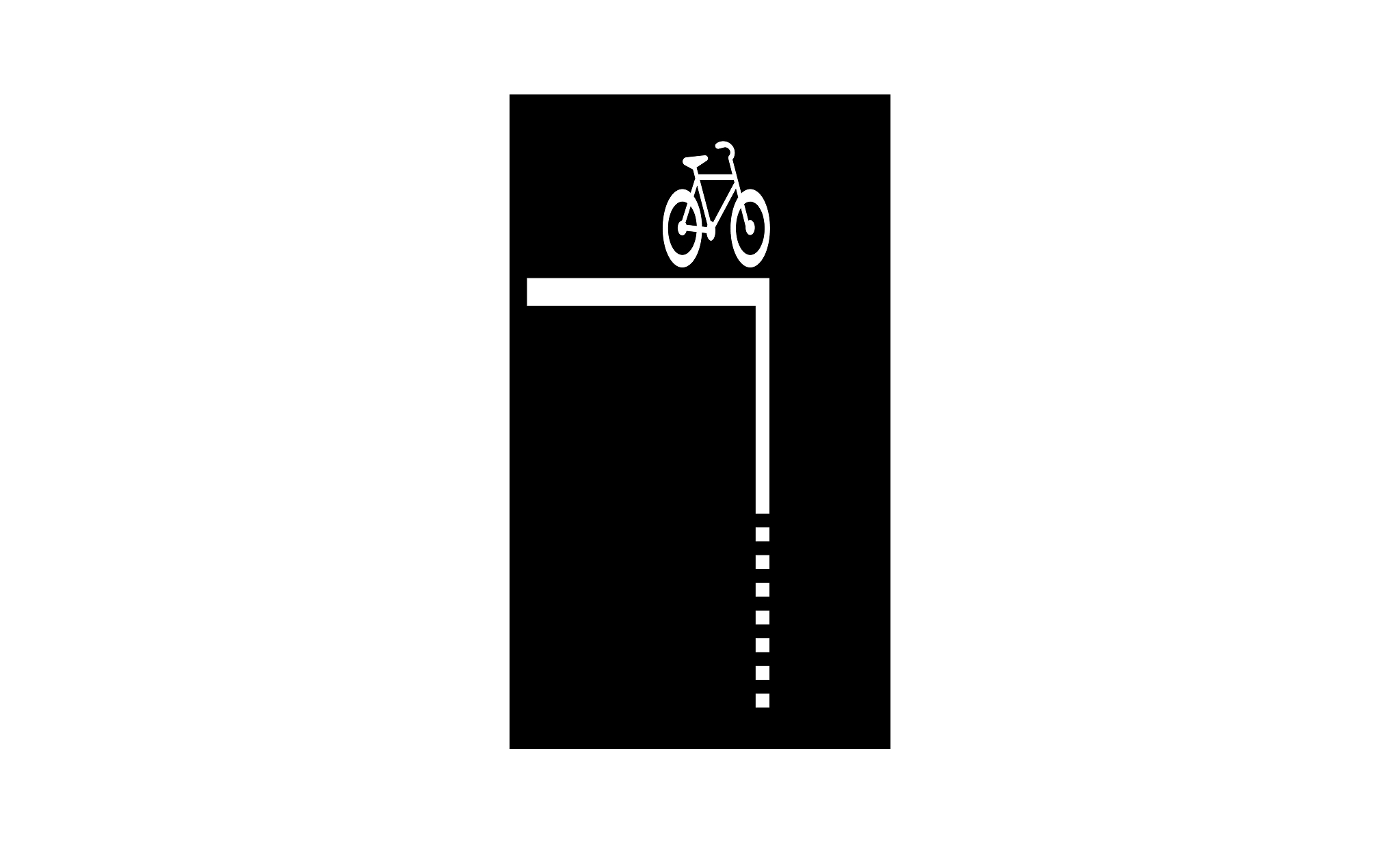
M17A Bicycle box
This marking indicates a space designated for cyclists and class II moped riders, often at traffic lights or intersections. The design can be adapted to local conditions.

M18 Preparatory warning of a give way or stop obligation
This marking indicates that a give way or stop obligation applies further ahead. Begin slowing down and prepare to stop or give way well in advance.
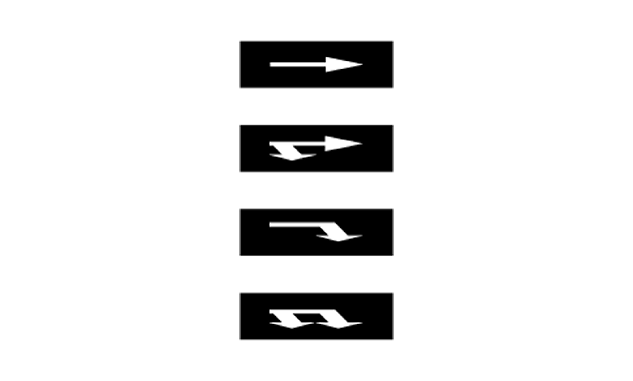
M19 Lane direction arrows
Lane direction arrows indicate the appropriate path in marked lanes for the nearest intersection. If the lane is bordered by solid lines, following the arrow is mandatory. If the arrow shows two directions in the same lane, it applies to the nearest and the next intersection.

M20 Lane change marking
This marking indicates that a lane change must occur immediately. It also serves as a warning that other vehicles may be changing lanes if the marking is on an adjacent lane.

M21 No stopping or parking
This marking indicates a prohibition against stopping and parking in the marked area. The marking is placed at the edge of the roadway and may not deviate in color.

M22 No parking
This marking indicates a prohibition against parking vehicles and is placed at the edge of the roadway. It can also indicate the boundaries of a bus stop. The marking has a 1:1 ratio between the line and the gap and may not deviate in color.

M23 No stopping and parking or no parking
This marking reinforces markings M21 (no stopping and parking) and M22 (no parking). The color may not deviate from the standard.

M24 Parking space marking
This marking indicates the boundary of a parking space for vehicles and may be made with broken lines. It is mandatory to keep the vehicle's wheels within all markings.
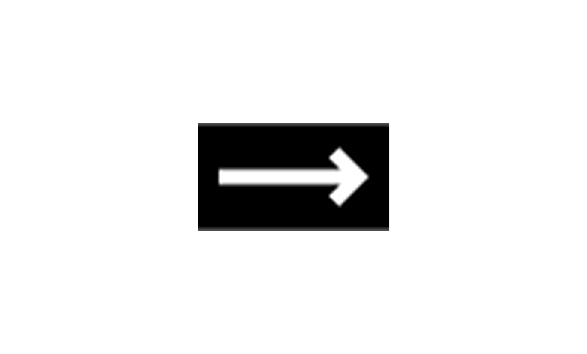
M25 Pedestrian/cyclist arrow
This marking indicates a route for pedestrians and cyclists, as well as class II mopeds.

M26 Bicycle
This marking shows a lane or route for cyclists and class II mopeds.
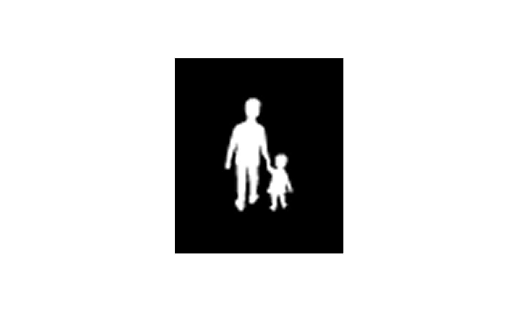
M27 Pedestrians
This marking indicates a lane or route for pedestrians. Extra caution is advised in areas with this marking.

M28 Bus
This marking shows that the lane is intended for public transport vehicles and similar traffic. Private vehicles should never drive or stop in a lane marked with this symbol unless explicitly permitted.

M29 Speed marking
This marking indicates the maximum permitted speed on the road.
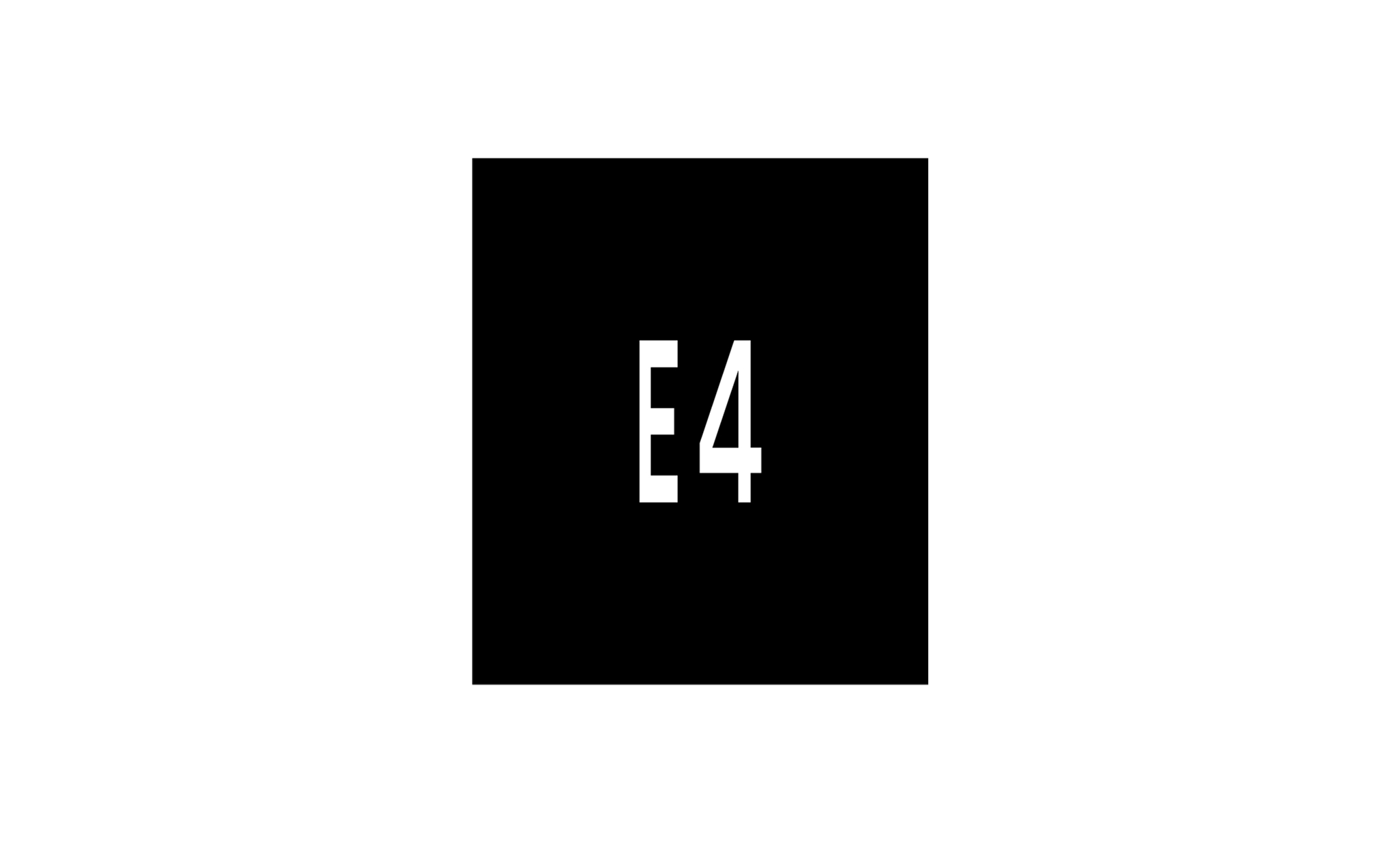
M30 Road number
This marking provides the road number for the current road.
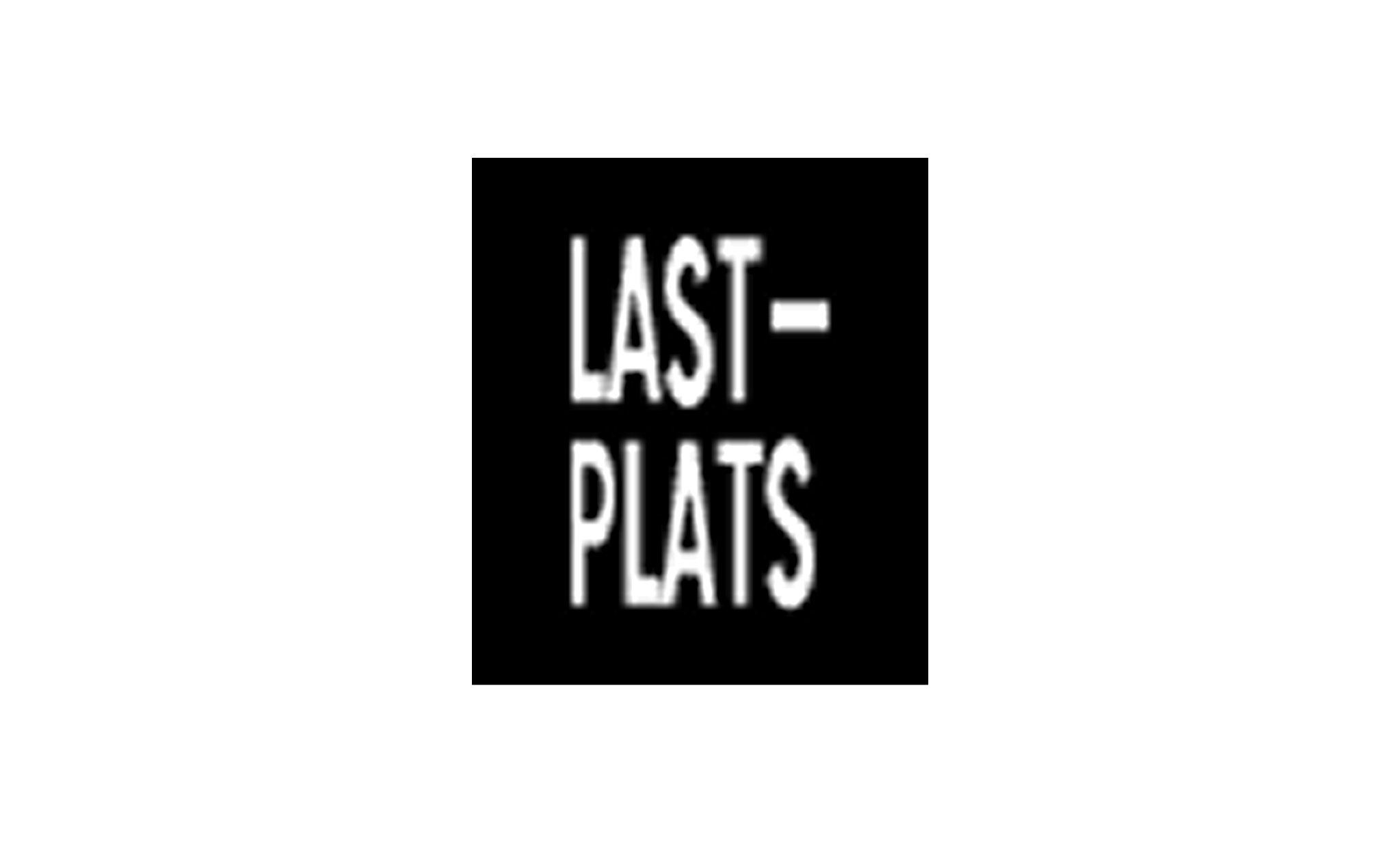
M31 Location for certain purpose
This marking indicates a parking space reserved for a specific purpose. The text on the marking is adapted to the purpose, such as "Taxi" or "Lastplats" (loading zone).
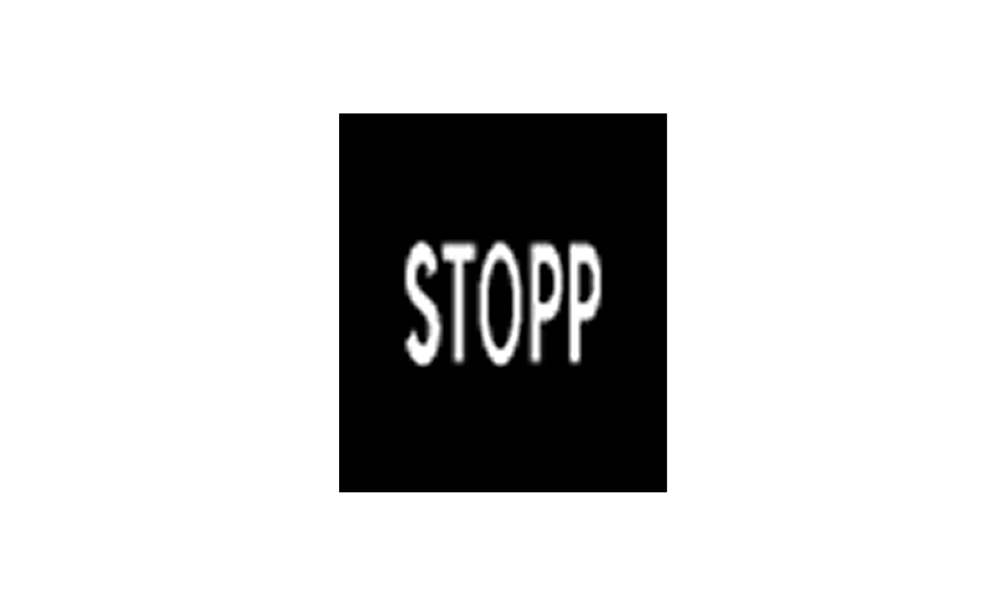
M32 Stop
This marking indicates a stop obligation and is used together with the Stop sign (B2) to clarify the need to stop.
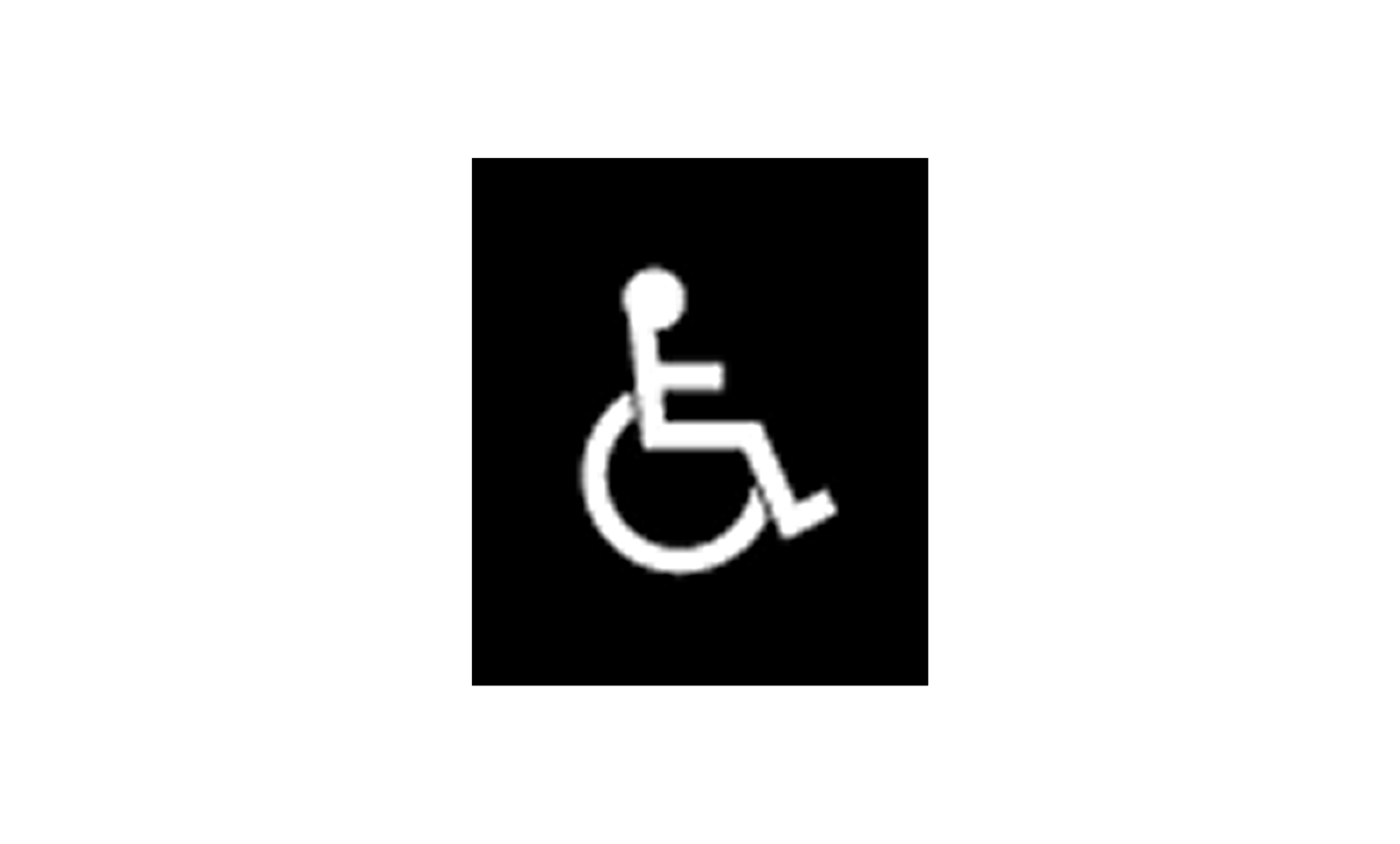
M33 Parking space for the disabled
This marking indicates a parking space reserved only for disabled persons. A valid permit is required to use this space.

M34 Information
This marking provides certain information, warnings, or guidance that may be important for road users.